Boundary surveys form the most critical components of block subdivision projects. This professional compulsion is important for several reasons. In the first place, boundary surveys are essential before gaining block subdivision approval from the Council. Second, once the block subdivision has been approved, the boundary surveys reveal the exact location of the block and highlight all the key details before the builders. Next, based on the key details, they can start to subdivide for safe and sturdy construction.

Boundary surveys are the legal bindings as stated by law in Perth that show the accurate boundary diagrams of a block. On investigating the block’s survey history by using the latest equipment, the licensed boundary surveyors scientifically measure and re-define the boundaries. Later, they present the findings in a detailed plan or report that becomes a legal document right after being registered with the Titles Office.
Hence, only Licensed Land Surveyors registered under the Surveying Act 2004 hold the authority to fulfil all the requirements of a Boundary Survey. Before beginning to subdivide a block, the possible factors to affect the likely mattes, include what and where the subdivisions can be done. The involved architects, Council, engineers and other relevant bodies learn about the constraints through the Boundary Surveys. The subdivision project on the particular block should fulfilled after addressing the pointed out constraints, which include –
- Boundary pegs locations
- Land’s evaluation and fall
- Significant trees were planted over the entire site and even near the site boundaries
- The prevailing site buildings, also comprising garages and sheds
- Boundary fences and walls’ location, height and types
- Directly adjoining buildings’ locations along with setbacks and levels on ridges, eaves, gutters and parapets.
- Road details covering the nature strip, crossovers and visible services directly in front of the site.
When all these constraints of the block have been factored into the subdivision project, then the costs and delays can be minimized. Later you can decide how should you utilize the subdivided block.
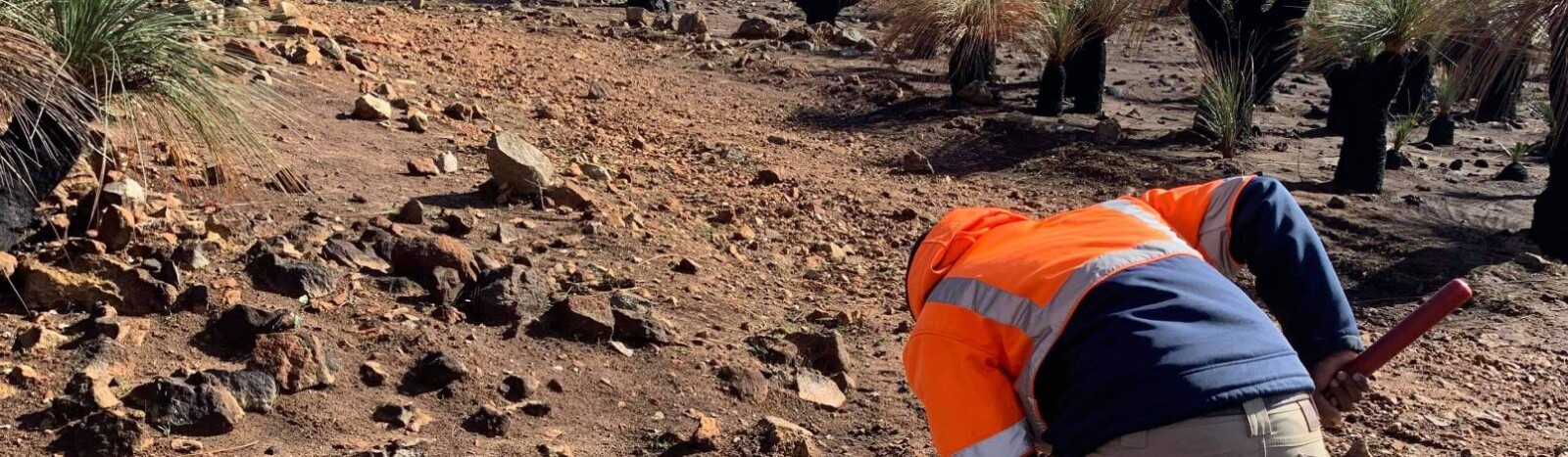
Block boundary surveys are completed by making individual survey marks on the ground to indicate the positions and boundaries. This survey is conducted to define what is the position of the land boundaries. Usually, the boundary corners and boundary lines are all about being marked onsite physically. The Boundary Survey is done to mark out the position of the block to be subdivided to ensure the subdivision is done to its correct markings according to the approval of the Council.


